• Virginia Section Hike Day 3

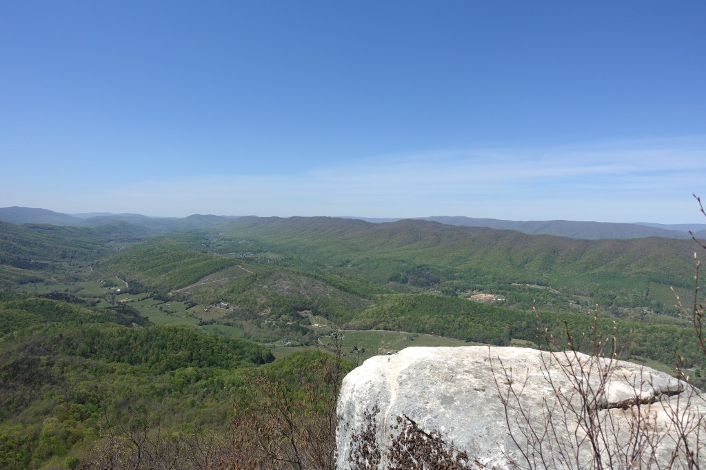
    Apr 24 – Planned 9 mile day hike from Lamberts campground to Daleville Rt 220 where my van is parked. No major climbs and and big downhill at end to Daleville.

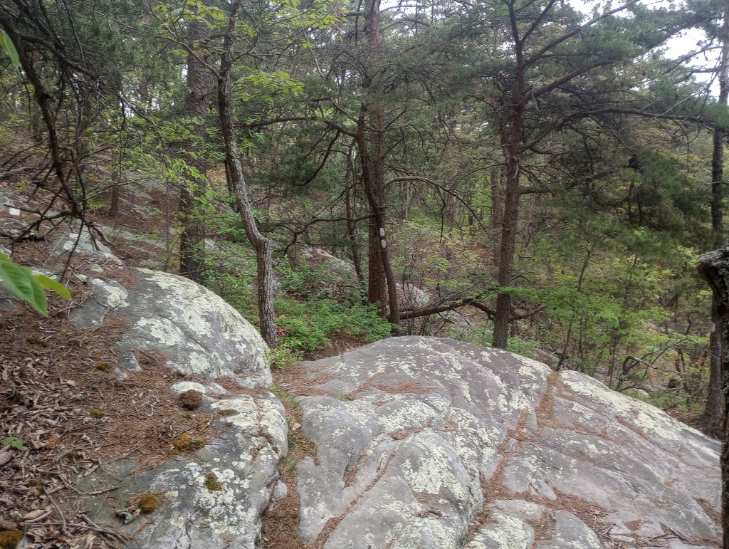
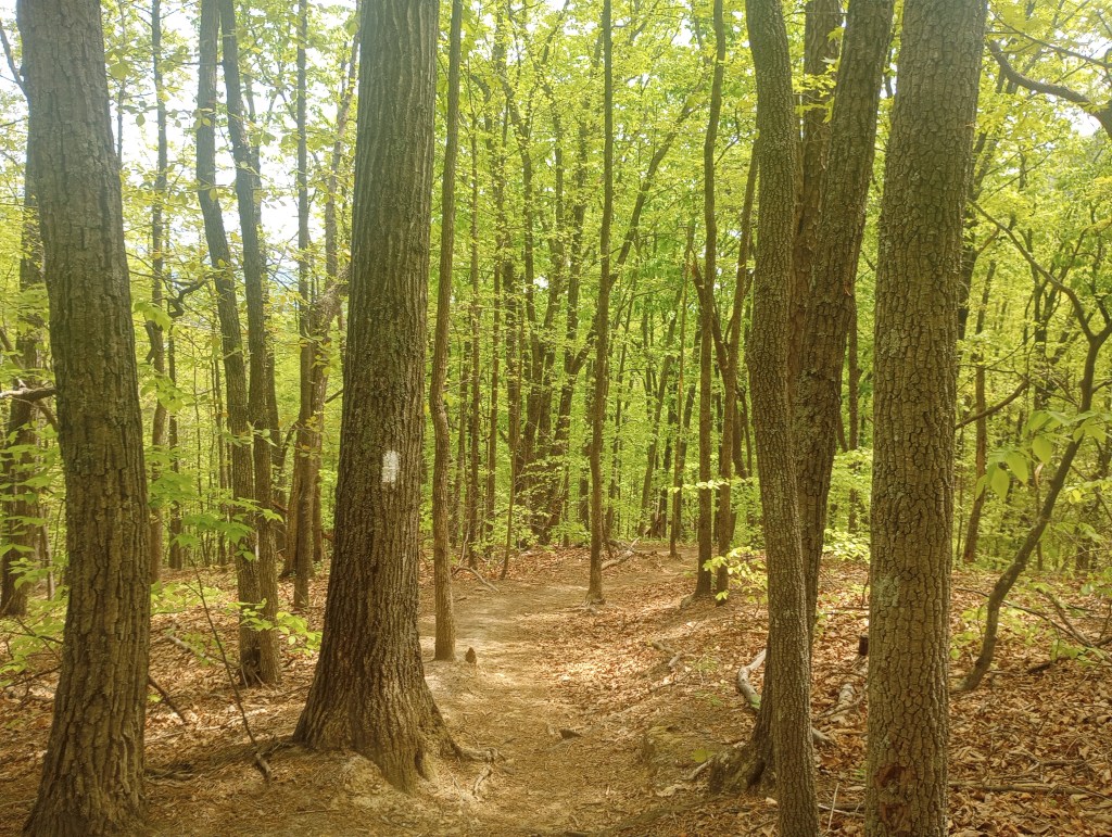
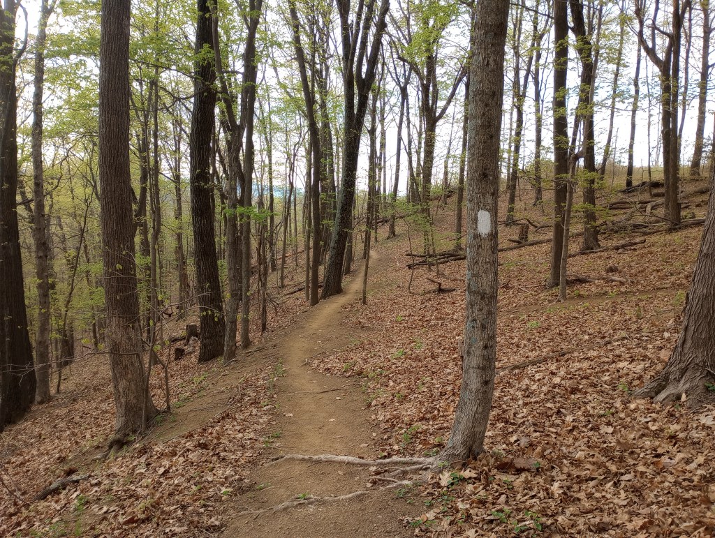
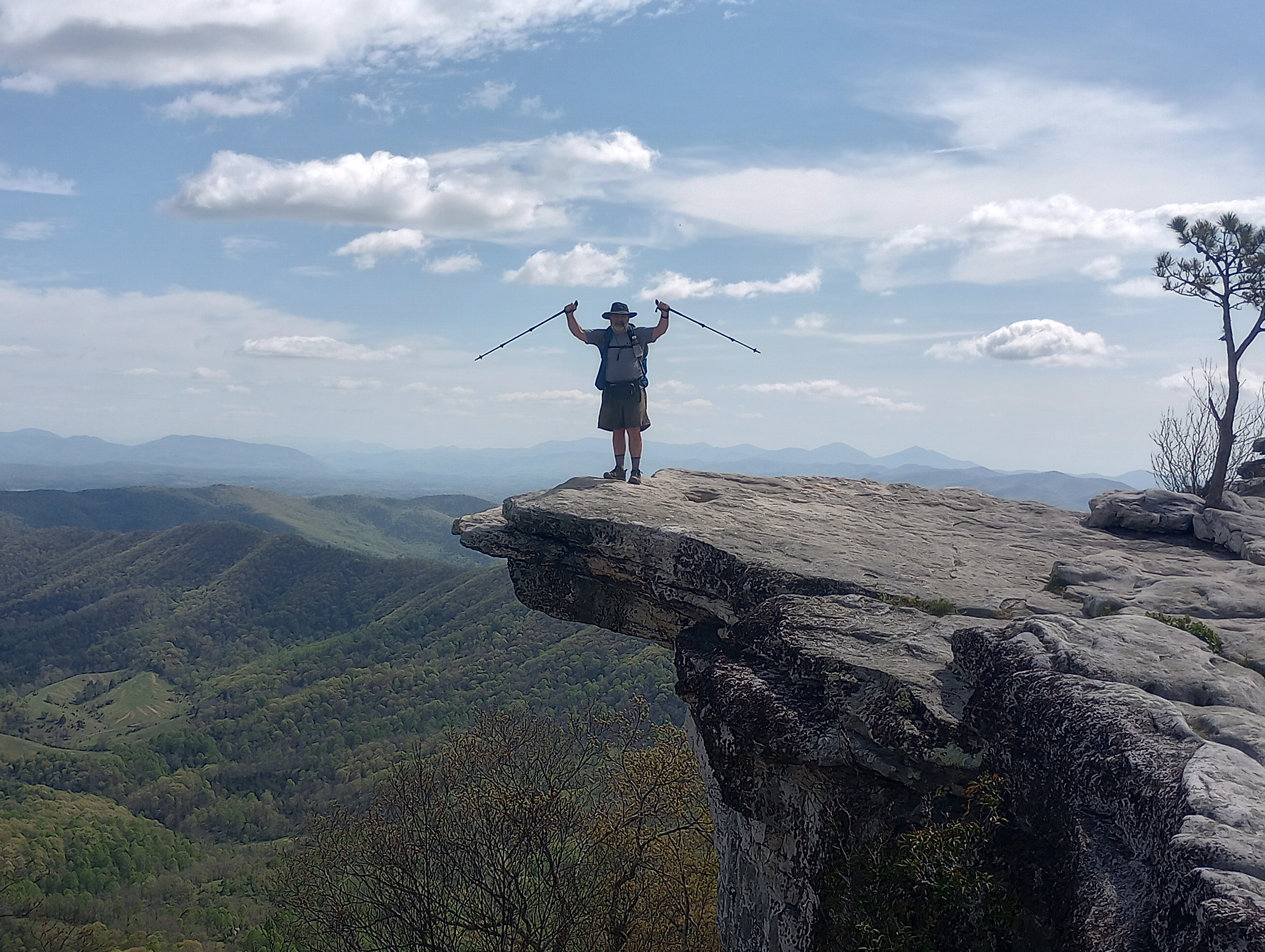
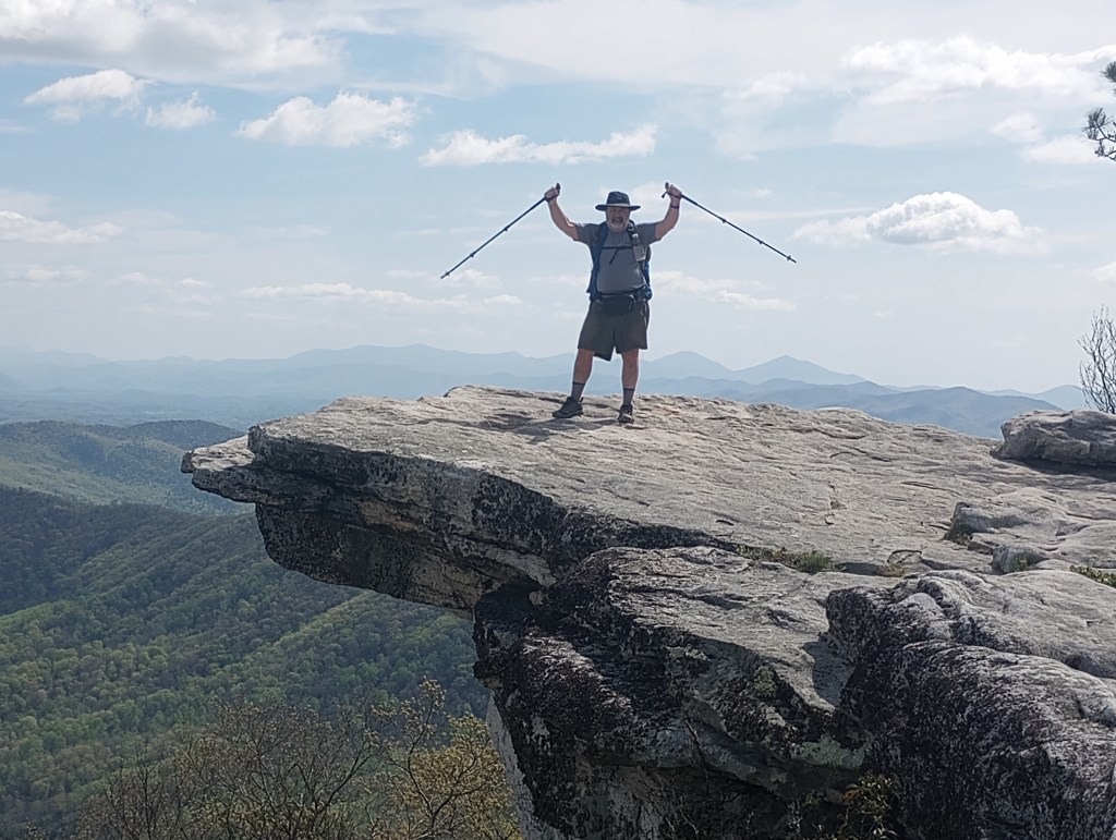
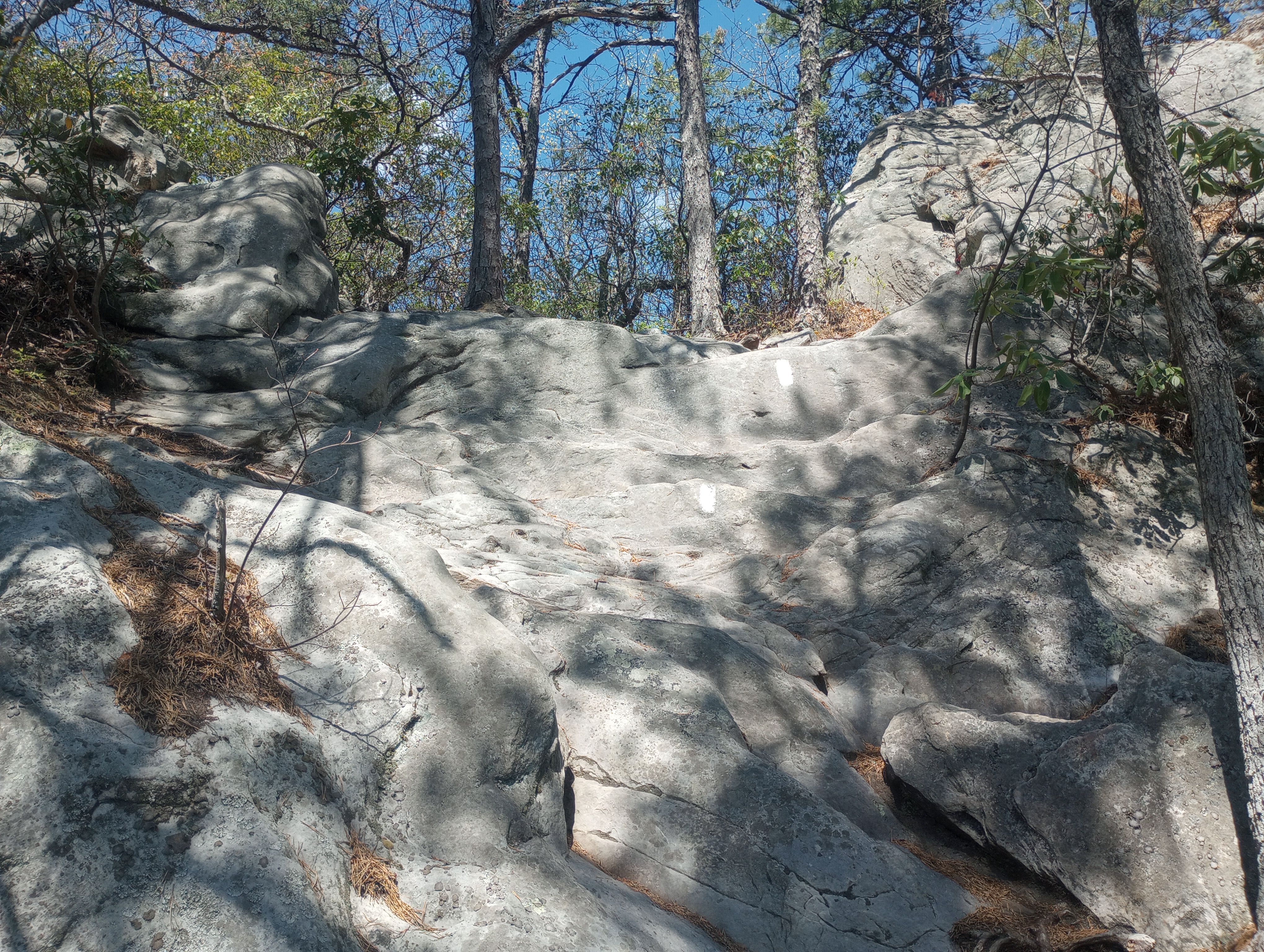
    Woke at 6:30 and on trail by 7:30. Perfect weather today and sunny and warm. The hike started even and easy so I tried for some speed to check ,y limits. I weal able to keep up a 2.0 mile per hour pace. Then I hit a ridge and most ridges mean lots of rocks to navigate was not able to keep the pace.

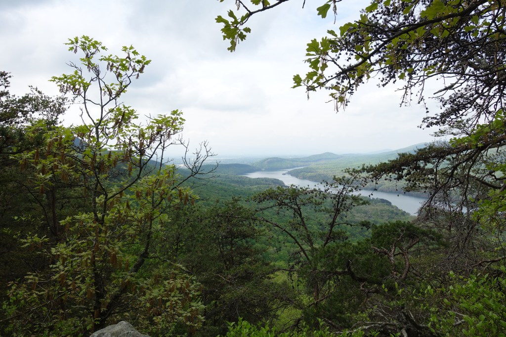
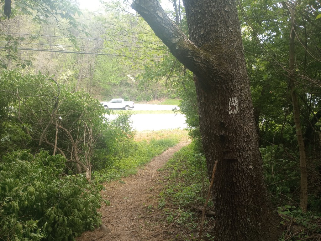
    By the afternoon the sun was warm and started to not feel well. Was either heat or something else. The downhill to Daleville was very steep and slow going…. and the worst luck is there a bit of a uphill right before the finish.

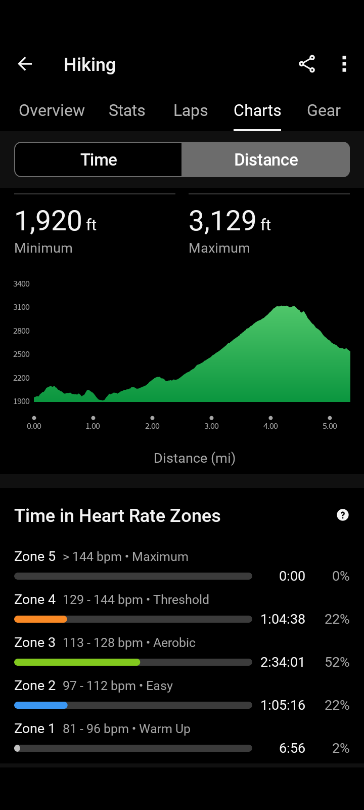
    Stats for hike: 9.48, total time 6 hr 7 min, 1361 ft elevation, average 1.5 miles per hour.

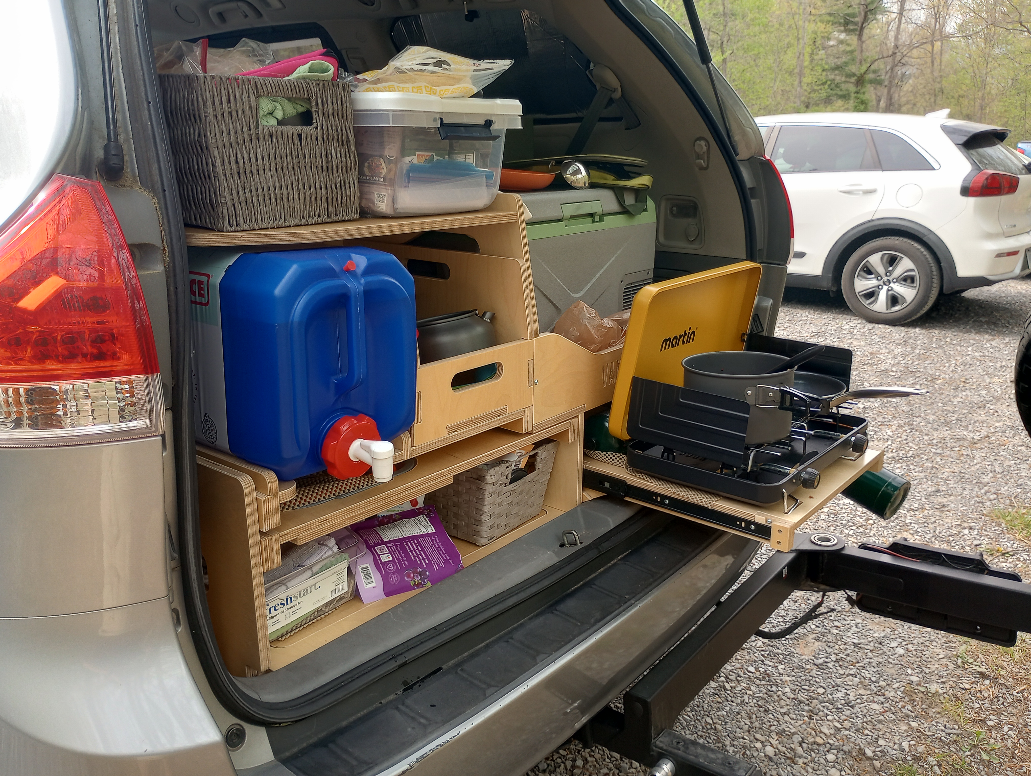
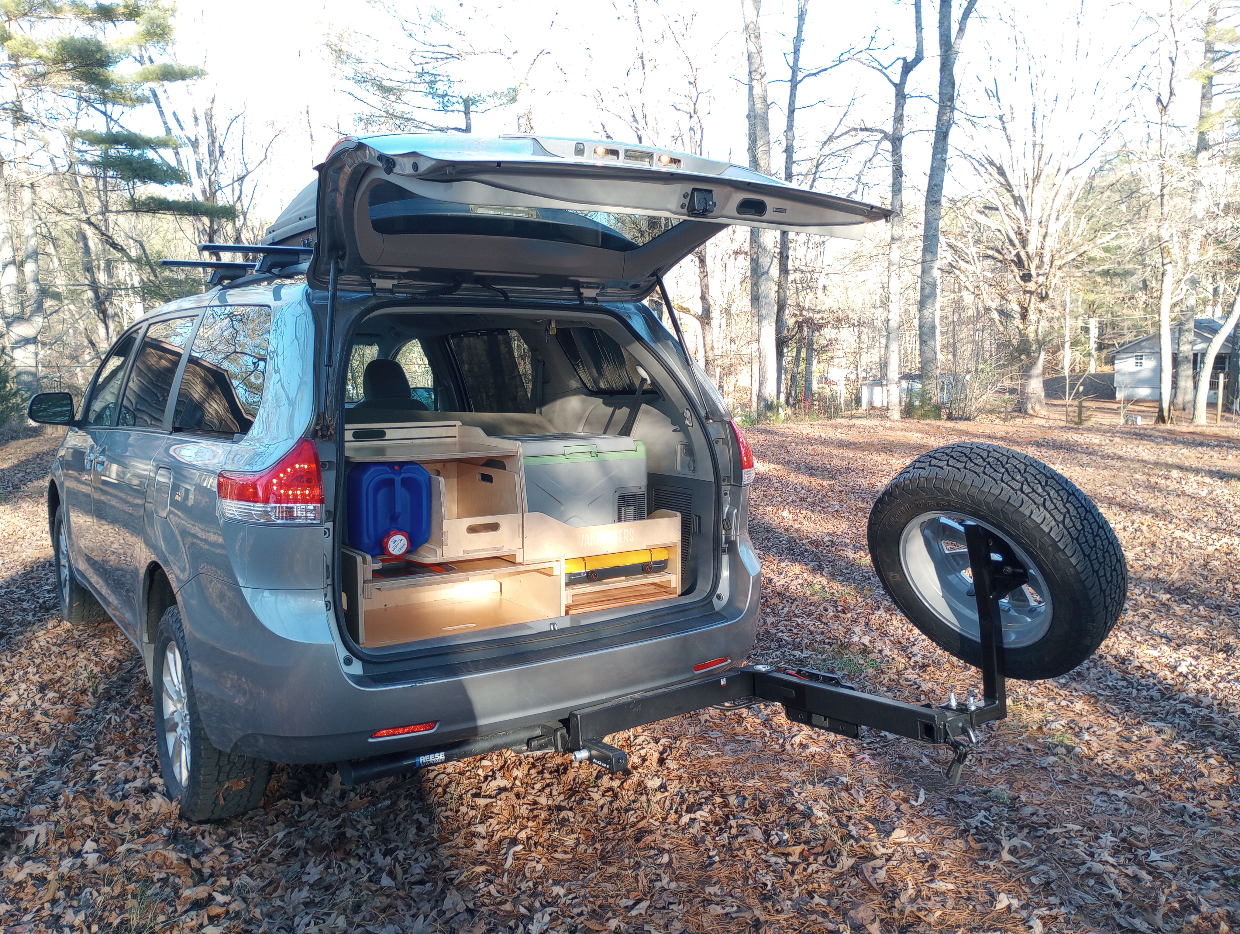
    Van was where I left it and drove to newer Huckleberry hostel. Was house with some out buildings owned by former thru hiker, for gor was year (recent). My camp spot for the van was near the road under some pines. Not a bad expect for some road noise.

  • Virginia Section Hike Day 2

    April 23 – Planned hike from Campbell Shelter to Tinkers Cliffs to Lambert Meadow campground. Planned to me about 6 miles and significant climb up to Tinkers Cliffs

    Woke at 7 am, had breakfast, packed and on the trail by 8 am. Felt a bit more organized the second day getting packed up. Did not sleep well at a bit restless even after a day of hiking… probably just from first day out yesterday.

    The first 2 miles for the day were level or downhill. The net 2 miles were killer uphill to Tinkers Cliffs. Perfect sunny skies and weather in the 70’s. Just as I reached the top I could see the hiking club from yesterday leaving the other side… just missed them.. Climbing was no fun. I try to put my head and down and count out about 40 or 50 steps before I stop, get my heart rate down and start again.

    Another fantastic view at Tinkers Cliffs looking back at McAfee Knob from yesterday. After some time at the top, hikesd about 2 miles downhill to the Lamberts Meadow area where I set up camp in the Lambert Campground next to running stream… very nice spot. Decided want to pack my backpack chair going forward !!

    Stats for today’s hike: 6.94 miles, 1396 ft elevation, 6hr 16m, 1.1 mph.

  • Virginia Section Hike Day 1

    April 22 – The plan is a 3 day AT Section hike, 20 miles or so, from McAffee Knob Trailhead, Rt 311 in Catawba VA to Daleville VA. Today is Day 1.

    Spent the night in the van in the parking lot of the closed Valley Cleaners in Daleviille VA. This is where my hike will end. The trail comes out to Rt 220 right next door to the cleaners. I was picked up at 7 am by my shuttle driver Homer and he drove me to the trailhead for McAfee Knob. They built a new bridge to cross the busy 311 highway. It was dedicated about 3 weeks before my hike.

    Had some breakfast after being dropped off and hit the trail. The first day was planned for “only” 4 miles or so but include the climb to McAfee. The climb was long steady along a well maintained trail that is well used by day hikers and AT hikers.

    The payoff is the view at the top and getting the iconic Appalachian Trail photo standing on the McAfee Knob cantilevered rock. The previous day I had run into a hiking club that had come to VA to do the triple crown, they had passed me just before the top and while at the views assisted with my photos.

    The Campbell shelter was not far down the back side of McAfee Knob where I setup up camp for the night near the water source. I normally drink a ton of water when hiking and camping near a water source is much needed. This water came from a spring that move pretty quickly those a hose someone had set up. There was a great light show at night as the mountain location of my camp looked down on what I assume was Roanoke (no photos)

    The stats for the day: 5.36 miles, 1591 ft elevation, 4 hours 51 min, 1.1 mile per hours pace includes time enjoying the view at the top.

  • “Warm Up Hike”

    I am behind in my posting. I was on the trail for three days last week and then a a stomach bug, probably Norovirus for three days. Trying to get back in the swing

    4/21/2025 Decided to do warm up hike in and around the Dragon Tooth area near Catawba VA.. Turned out to be a bit more strenuous and technical than I had expected. But then again, I really did not do much planning, other than I has been here before and thought I remembered my way around. I did not summit to Dragon’s Tooth but made a loop of the AT and Dragons tooth trail.

    The stats: 5.05 miles, 1171 ft elevation, 3:42 for a average speed of 1.5 – elevation chart and photos below. The views at Raawies Rest were spectacular

  • The adventure begins

    April 20 – Packed up and hit the road by 10 am. Drove straight through to Daleville / Troutville VA area. I had picked out a trailhead to park and stay the night in Troutville. Turns out the spot was too small. I decided to head to the Dragons Tooth trailhead. I had been here before a few years ago so I was familiar.

    Picked up a few groceries on the way. Made dinner for the first time in the van kitchen. Trash and bathroom will be some of my challenges … luckily this trailhead trash cans and bathroom.

    Set up the window covers for privacy and was in bed as sundown. Was a bit warm but had a small fan that helped

    All in all not a bad first day on the road….

  • 80 years ago today – April 20,1945

    On this day in 1945 my Dad, Frank Simmerly, (age 25) was copilot of a B26 bomber with the 9th Air Corp, 323 Bomber group flying a mission over Germany. The target was the Marshaling Yards at Memmingen Germany. The intelligence reports of the day had stated that all significant Nazi resistance to air strikes seemed to have collapsed and there was a relaxed mood in the bombing group. The mood changed when they crossed the Rhine River and found heavy flak.

    The bigger surprise came as the group was lining for the bomb run on Memmingen. A group of ME262 German Jets began to attack the group. This was the first time the had every seen a fighter jet. The book Marauder Men by John Moench (retired major general) has some first hand descriptions of the attack from members of the group.

    The pilot of my dad’s plane was Lt. Harvey Adams and as described below in the Marauder Men excerpt below, their plane was hit in both engines Lt Adams leveled the plane and turned towards home and told the crew to bail out while he and my dad continued to try to fly the plane. At some point Harvey told my dad to head back to bail out and to “wait for me”. My father never heard the “wait for me” part and bailed out by himself.

    My father landed in a mud puddle with his 45 sidearm drawn. He was not sure if he was in France or Germany. Some locals came to help him and they were German speaking French. He was safe.

    I took my Dad 3 days to make it back to his base. He was the last of crew to return . He found everyone had made it back before him. His locker was cleaned out and he designated MIA. He returned carrying his ripcord along with whis parachute on his back. Since parachutes were made of silk at the time, he sent the it home to my Mom. The rip cord hung over his desk at our home and was donated to the small museum at the airfield where he learn to fly.

    The crew was sent to for R&R in Paris and when they returned the was was over. April 20 turned out to be the last mission of the war for 9th Air Corps. Germany surrender on May 8th. My dad sailed back to the US in the Queen Mary

    When he passed in 2004 my Dad wore his Caterpillar Club pin that he always wore on his suit coat (The Caterpillar Club is an informal association of people who have successfully used a parachute to bail out of a disabled aircraft.)

    Thank God for the greatest generation. #greatestgeneration

  • Let’s do this

    The van in packed and we are ready roll.  First stop Daleville VA where I will finish my first AT hike for 2025 and at the same time complete my first section I started in 2017.

    It has been perfect weather in NC this week.  And wouldn’t you know there is rain in the forecast this week in Virgina.

    I am ok hiking in rain, or wind or cold just not all three.

  • Time to finish what I started

    It is time to finish what I started 8 years ago…

    The original Appalachian Trail section hike that started it all for me was planned for the fall of 2017. This was the year I turned 60 and when my many years of being a “soccer dad” came to end. (I am sure you are all saying “you don’t look that old”- smiles).

    The original plan was to hike NOBO (North bound) from Pearisburg VA (mile 637.5) to Daleville VA (mile 730.6) for a total planned hike of 93.1 miles. I think I had planned to do this in 8 to 10 days. This section includes some famous and popular spots on the trail dubbed the “triple crown”. Dragons Tooth. McAfee Knows and Tinkers Cliffs. There are many iconic photos of the AT with a hikers standing on a cantilevered rock I am sure you have seen… this is McAfee Knob.

    I had some backpacking experience from weekends in the Allegany Forest in PA so I was not a complete newb. I borrowed some equipment from my son, bought some new equipment and did some exercise and walking to prepare.

    As the time approached I decided 93 miles was bit too much to handle on my first hike and decided to change and start at Mountain Lake road access (mile 664.5) . This by the way is near the resort where the movie Dirty Dancing was filmed. This would take 27 miles off the original plan…

    I parked my car in Daleville and hired a shuttle to take me to the start of my hike. The first day was a bit of a challenge but is was all down hill so real problems. The second day I learned how poorly I was prepared and what a physical challenge the AT can be, especially in Virginia. I hiked uphill for more than 8 hours during which time I hit a wall and was only able to take 5 steps without stopping. The final uphill was a 500 ft climb in 1/2 mile up to Kelly’s Knob. I got some moral support on the final push from some experienced section hikers and hobbled into Laurel Creek Shelter.

    That night I had no desired to eat, but the other hikers convinced me I needed to eat. The next day I took a “zero” and slept in the shelter all day. The third day I started back on trail but knew I would never make it all the way to Daleville. A few miles in there was a road, I hitched a ride and my first section hike was over after only 14 miles.

    Some lessons learned

    • need lighter weight equipment and boots
    • must have trekking poles
    • you will eat much less food than you plan
    • must eat breakfast in the morning before starting a hike

    Over the last 7 years I have completed a number of hikes in this section. My longest was 35 miles over 4 days that included Dragon’s Tooth. After moving to North Carolina in 2022 I have become a much better hiker and am able to handle the mountain climbs – for the most part. I am down to the last 20 miles to finish my original plan. This will be completed next week in first hike of this adventure including my first trip to McAfee Knob and maybe a sunrise photo like below. It’s about time.

  • Meet Vanessa

    Vanessa is my 2014 Toyota Sienna minivan that has been adapted to be my camper van for my adventures. I plan to camp and live out of the van between my hikes although I do have a “base camp” in Franklin NC which is a 29 foot Coachmen camper on a permanent camp site. As a result, I do not consider myself a “vanlifer”

    I can not tell you all the money I have put into Vanessa, but here is a list of the updates:

    • Removed and sold the second ant third row seats
    • Yakima cargo bars on the roof
    • Thule Cargo box for roof
    • BF Goodrich All Terrain tires
    • Swing away hitch, spare tire mount, and full size spare
    • Lift kit to raise suspension 4 inches
    • Van Packers conversion kit (kitchen, benches)
    • Refrigerator / stove
    • EcoFlow Solar generator and alternator charger
    • Window vents with screens
    • Sun / privacy shades for all windows
  • Why “Mapless” ?

    I have been an Appalachian Trail Section hiker since 2017. I have accumulated 225 miles over numerous multi day hikes. For me, a section hike must be planned at least 3 days and 2 nights on the trail to “count” towards these miles. “Day hikes” do not count.

    On of my first hikes was in the Shenandoah National Park where the trail follows the Skyline drive. On the first day of hiking I had paper copies of the AT Guide in a zip lock in my pocket. The guide is more or less a map of the trail with details on mileages, elevations, shelters, place to camp, water sources as well as many other details of the trail.

    When I stopped for my first rest stop the zip lock was no where to be found!

    I must have dropped it somewhere on the trail.

    The backup to the paper maps was an app for the phone called GutHook (now called Far Out). I never wanted to use the app because I wanted to save the battery on my phone and this was why I chose to always carry the paper. But when I turned on my phone to use it, the app would not open, nada, zip!!

    For the rest of the day I followed the trail without my copies of the guide and no access to the Guthook app. It is very hard to get lost following the AT but I love the guide to tell me how far I have gone and how far I have left to go to my destination for the day.

    That evening I camped at a shelter (called huts in the SNP for some reason) with other hikers and told my story of my missing guide pages and the phone app that would not open… as a result, I was given the name of “mapless”

    Luckily another hiker arrived with my zip lock bag they had found and I was only mapless for a day, but now have the trail name forever… once you are given a trail name it is always your trail name per the trail rules…